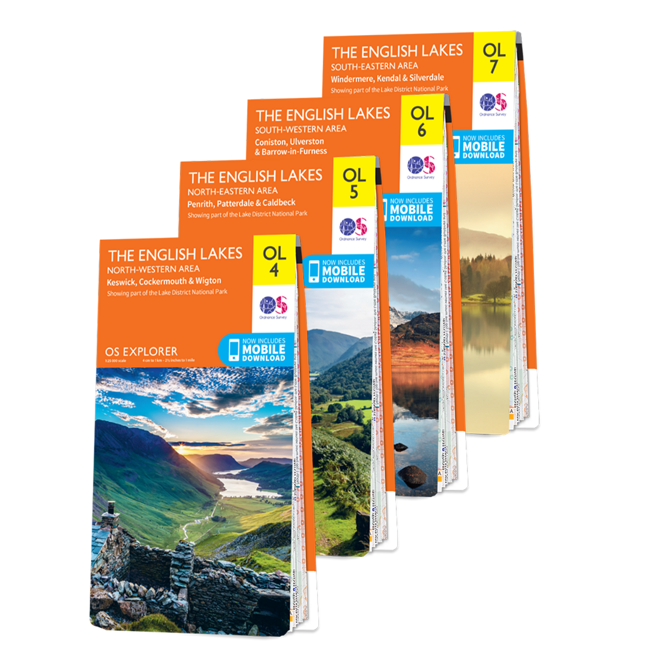
Ordnance Survey
Explorer Maps
Adventure awaits with their Explorer Maps – the perfect tool for those who are always seeking new discoveries. Their maps are renowned for their bright orange color and feature a range of useful markings, including footpaths, car parks, contour lines, campsites, and even pubs. Whether you’re walking, running, cycling, or horse riding, you’ll always be able to keep track of your location. And the best part? Every map comes with a free digital download, so you can use it on your devices while you’re out exploring. Get ready to uncover the hidden gems of Great Britain with their Explorer Maps.
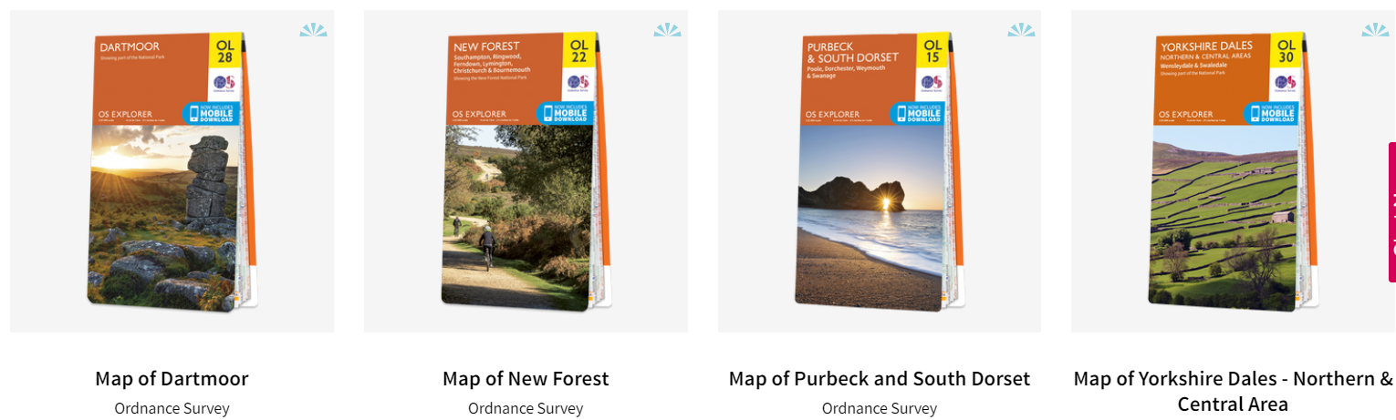
Map of Dartmoor
If you’re planning a trip to Dartmoor, don’t leave without the Explorer OL28 Dartmoor map. This detailed map covers both the North and South sides of this vast moorland, allowing you to explore every inch of its craggy landscapes, forests, rivers, wetlands, and granite tors. Not only will you discover stunning views, but you’ll also uncover the history of the area through Neolithic tombs, Bronze Age stone circles, and Medieval Farmhouses dotted throughout the valleys. Whether you’re an avid hiker, cyclist, or just a casual day-tripper, this OS Explorer map is the perfect companion – available in both standard and Weatherproof Active, so you’re never caught out in a storm. And for added convenience, a free digital download is included, so you can access the map anywhere, anytime.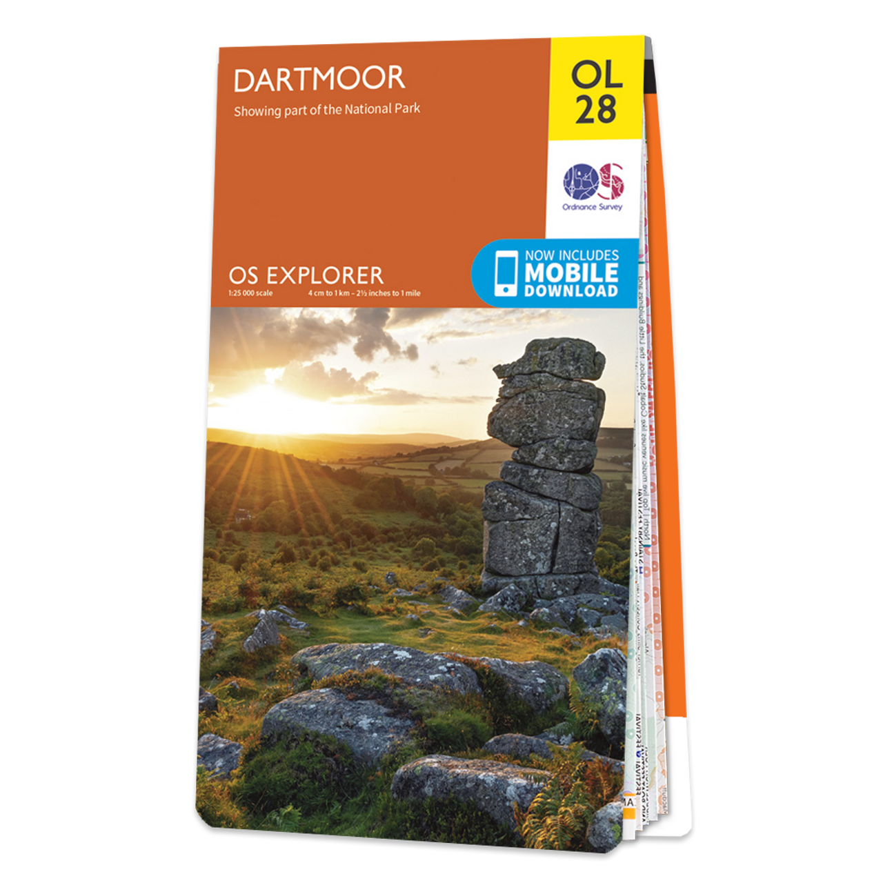
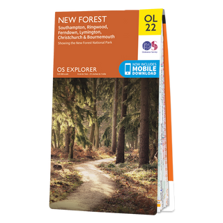
Map of New Forest
The New Forest map holds within its folds endless possibilities for exploration. This idyllic corner of the world offers a scenic experience like no other, with charming villages surrounded by vast and sprawling heathland. Visitors can witness the beauty of wild ponies grazing freely, surrounded by nature. What’s more, the area includes a number of delightful coastal towns, each home to their own beaches and docks. Bournemouth offers a perfect mix of sea and sand along with the buzz of a popular holiday destination. Meanwhile, Ringwood boasts lovely old streets and, of course, the infamous Ringwood Brewery, providing a perfect opportunity to sample some local ale. Be sure to visit Southampton, the home of Ordnance Survey. Plan your adventures with OL22, the must-have map for New Forest explorers. Additionally, their Explorer maps come with a Weatherproof Active option to ensure you are never caught out in a storm.
Map of Purbeck and South Dorset
Planning your next adventure to Purbeck and South Dorset couldn’t be easier with the OS Explorer map. Known for its breathtaking Jurassic Coast, this area attracts many outdoor enthusiasts who want to uncover the history and beauty of South Dorset. Whether on foot or on a bike, the stunning countryside provides the perfect backdrop for exploration. Take a trip to the Purbeck Peninsula, where sandy beaches and steep cliffs come together to create a unique and awe-inspiring landscape. Uncover fossils and explore different types of sea-life as you wander along the coast. But don’t forget to keep an eye out on the flats! The area is home to red squirrels, sika deer, kingfishers, oystercatchers and many other amazing creatures. And with their Explorer maps, available in both standard and weatherproof options, you’ll be prepared for any outdoor conditions.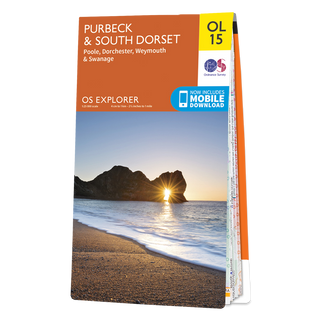
Map of Yorkshire Dales – Northern & Central Area
Venture through the scenic beauty of Yorkshire Dales, Northern & Central area with the help of the OS Explorer map. Whether you’re exploring the charming Swaledale or the renowned Wensleydale cheese valley, this map is a must-have guide for your adventure. Marvel at the stunning Arkengarthdale Valley and revel in the majestic beauty of the Aysgarth Falls. Take in the dramatic landscapes of Hawes while cycling or hiking. With the River Wharfe flowing through, this region is truly a paradise for nature lovers. The OS Explorer maps cater to all kinds of adventure seekers, with standard and Weatherproof Active versions, giving you the flexibility to plan adventurous day trips with ease. Furthermore, you can access a free digital download of the map, making it all the more easy to navigate across all of your devices. Enjoy the rustic charm and natural surroundings of Yorkshire Dales with the aid of this comprehensive map.
Why Ordnance Survey?
As an avid outdoorsman, I know all too well the value of a good map. That’s why I turn to Ordnance Survey explorer maps whenever I’m planning an adventure. With their detailed terrain information and accurate markings of paths and trails, these maps have helped guide me through some of the most rugged and beautiful landscapes the UK has to offer. But what really sets Ordnance Survey apart is their commitment to continually updating and improving their maps, ensuring that I always have the most up-to-date information to inform my explorations. For anyone looking to truly experience the magic of the great outdoors, a reliable and trustworthy map is an absolute must-have, and that’s exactly what Ordnance Survey provides.